Home Class Tools Free Printable Maps of the United States Bundle

Free Printable Maps of the United States Bundle

by


If you’re teaching kids about the 50 nifty states, you’ll love this free set of printable maps of the United States! It includes a big selection of labeled and blank maps of the United States, including some unique options.

We’ve also added a handful of free printable worksheets with activities like state and capital quizzes and puzzles, U.S. state graphic organizers, and instructions on drawing your own physical map of the country. Get your free printables by filling out the form on this page.

Free Printable Map of the United States Bundle Contents

Blank Maps of the United States
Myranda McDonald for We Are Teachers

Blank Maps of the United States

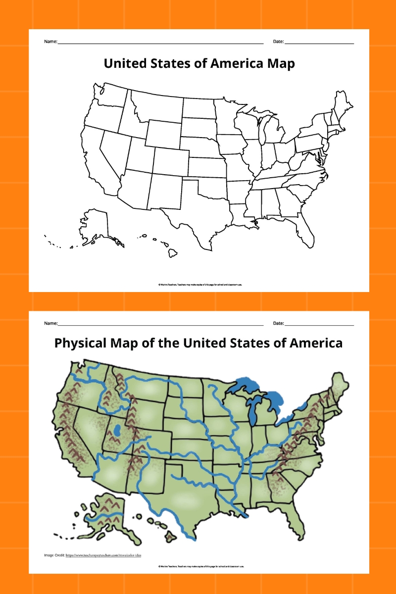
All of these U.S. maps are blank, so students can learn by filling in the missing information. Here’s what’s included:

  • U.S. map with state outlines
  • U.S. map with state outlines and state capital stars
  • Physical U.S. map
  • U.S. map with latitude and longitude lines
  • Map showing U.S. regions
  • Maps showing individual regions of the United States
  • U.S. map with county outlines
  • North America map with country outlines
Labeled Maps of the United States
Myranda McDonald for We Are Teachers

Labeled Maps of the United States

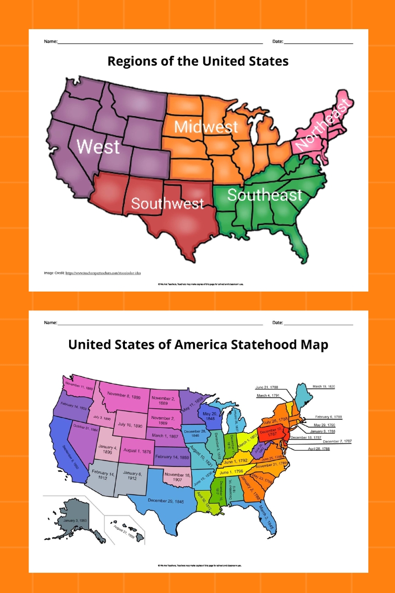
When you need reference tools, these completed maps fit the bill! They include:

  • U.S. map with state names
  • U.S. map with state and capital names
  • Physical U.S. map
  • U.S. map with latitude and longitude lines
  • Map showing U.S. regions
  • Maps showing individual regions of the United States
  • North America map with country names
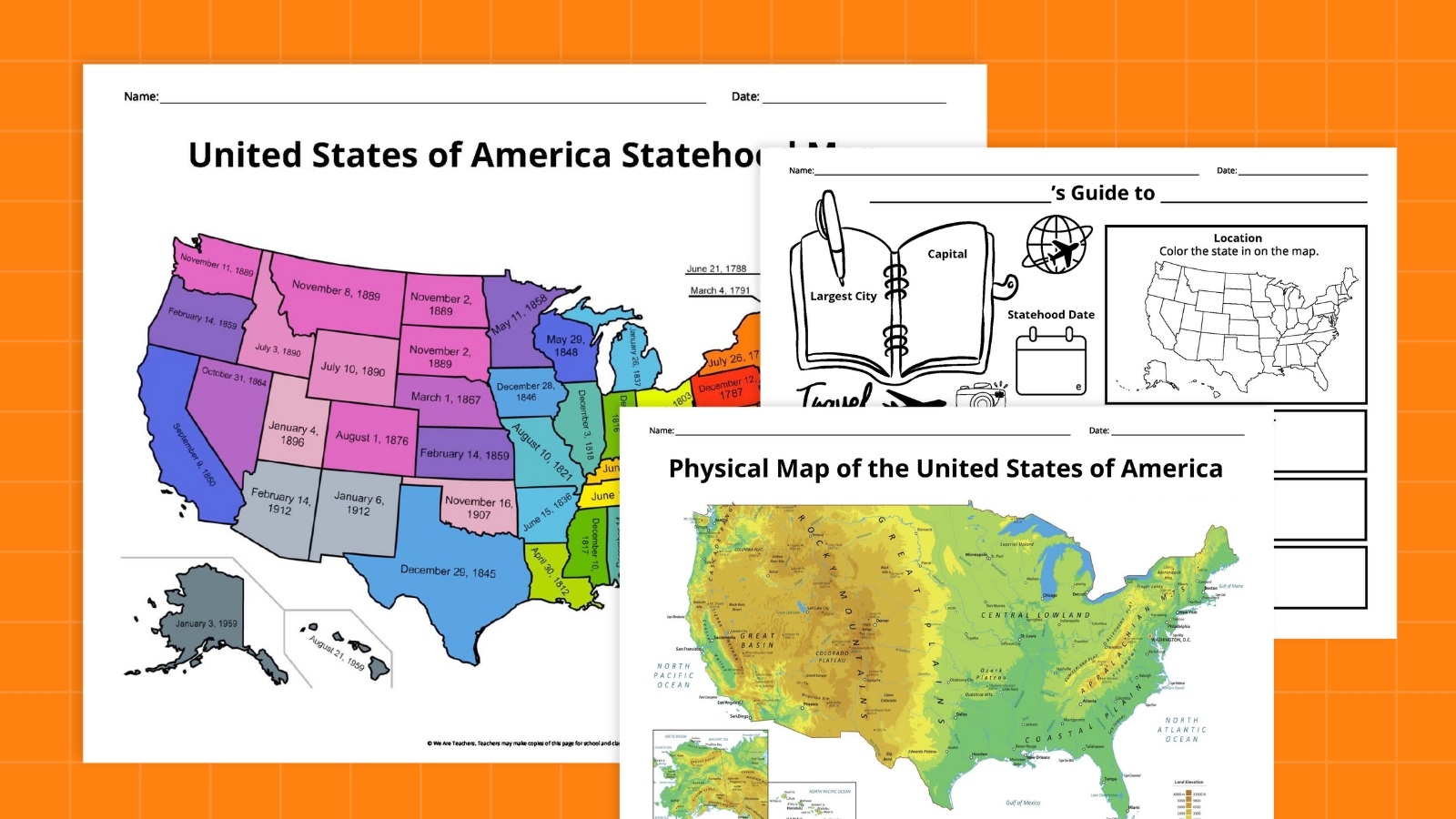
  • U.S. map with state abbreviations and dates of statehood
  • U.S. map of historic Native American lands
U.S. State/Capital Challenges
Myranda McDonald for We Are Teachers

U.S. State/Capital Challenges

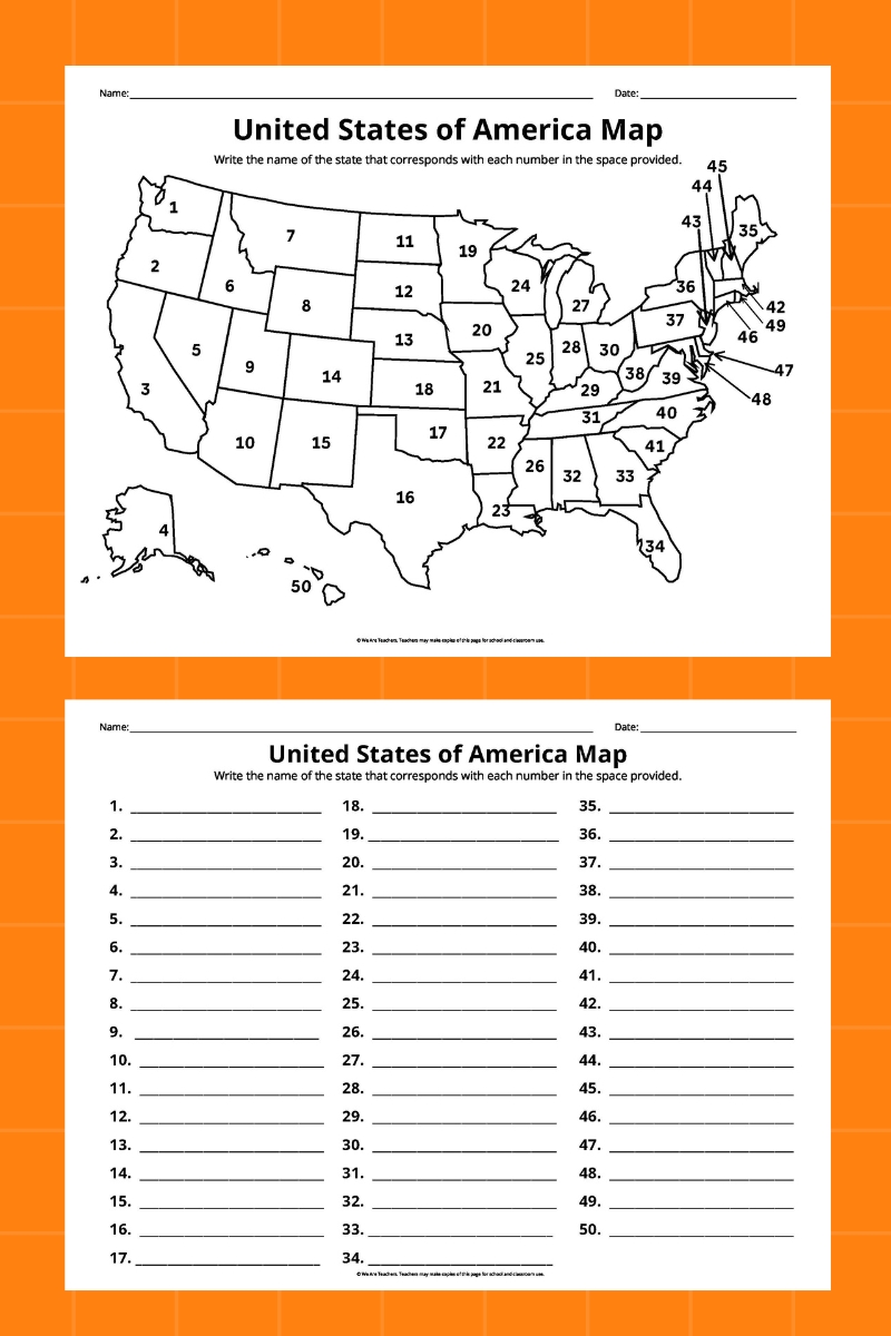
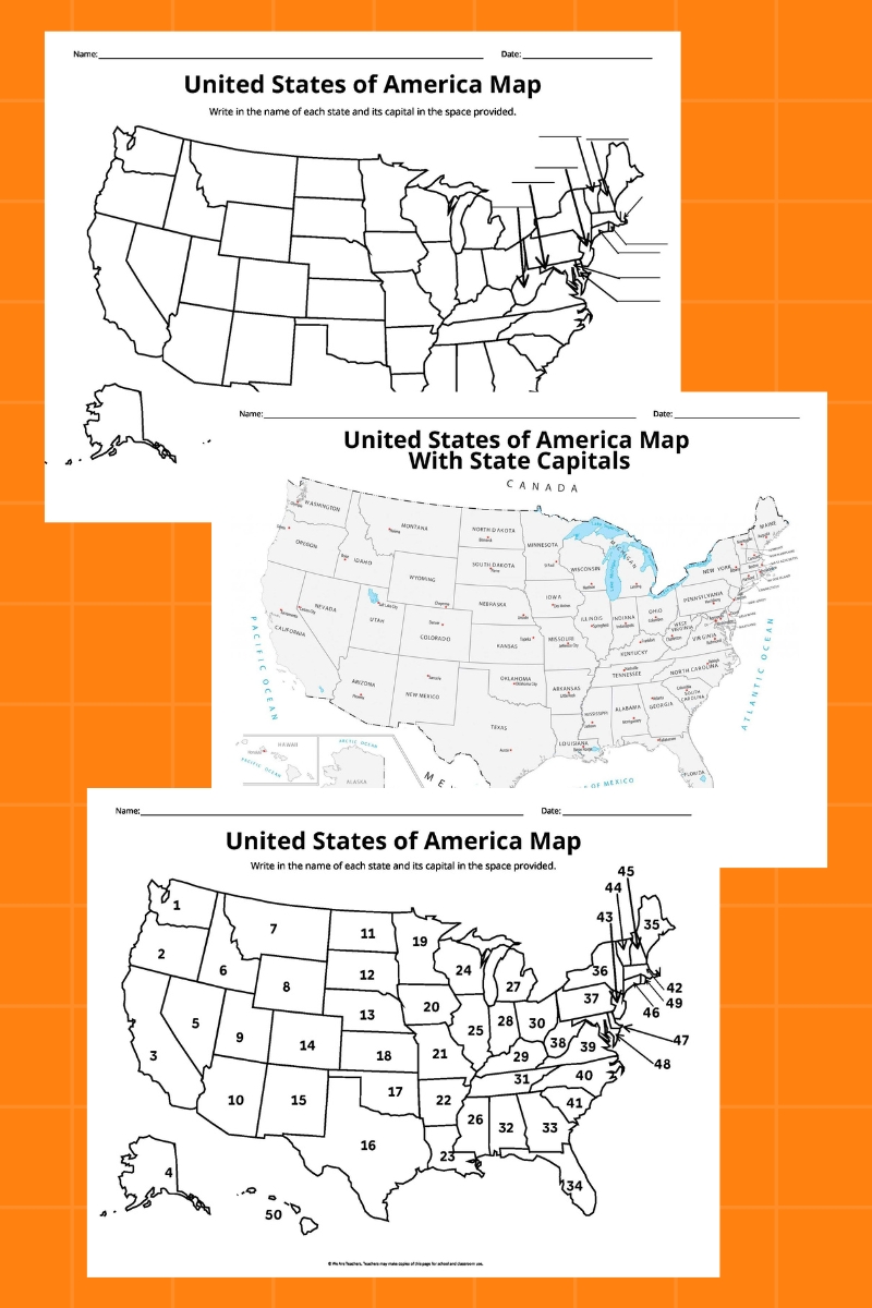
Learn the state names and their capitals with these free worksheets, including:

  • Name the State (2 different designs)
  • Name the State and Capital (2 different designs)
U.S. State Matching Puzzles
Myranda McDonald for We Are Teachers

U.S. State Matching Puzzles

Each of these printable puzzles is made of up three pieces, showing the state shape, name, and capital. Laminate these and kids can use them for years to come!

U.S. State Graphic Organizer
Myranda McDonald for We Are Teachers

U.S. State Graphic Organizer

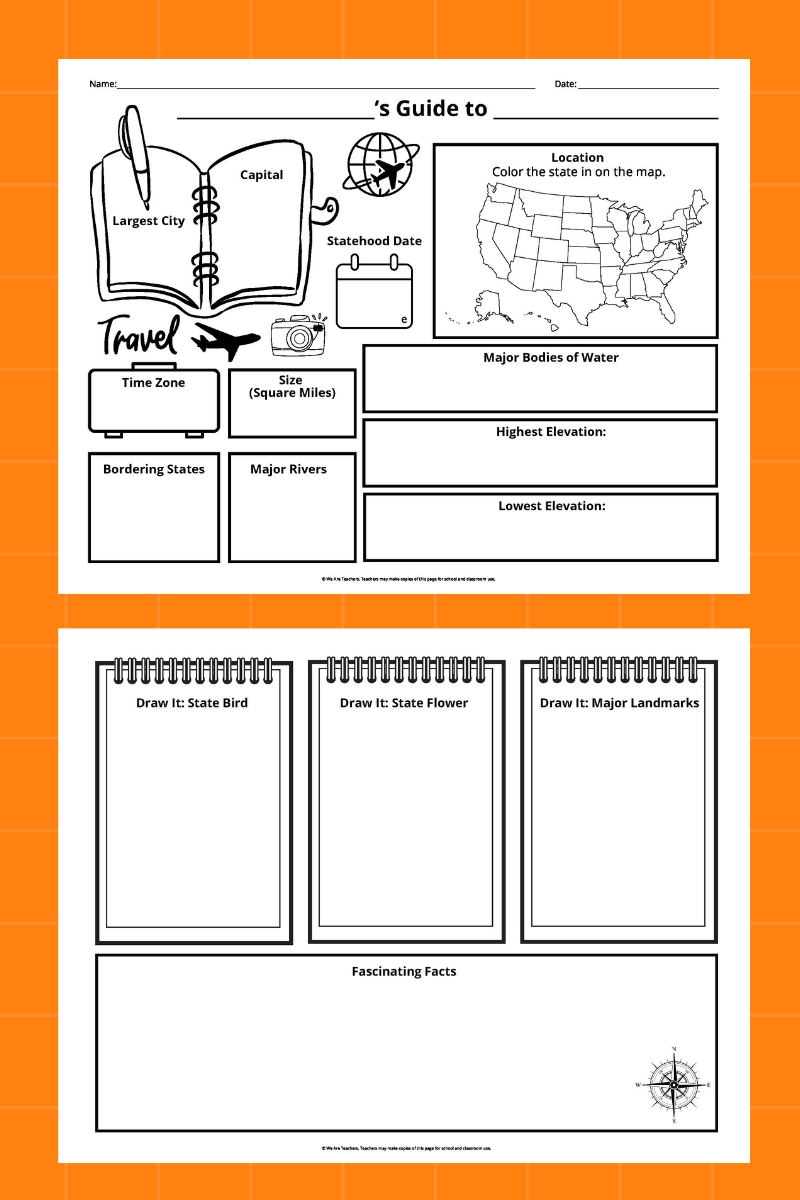
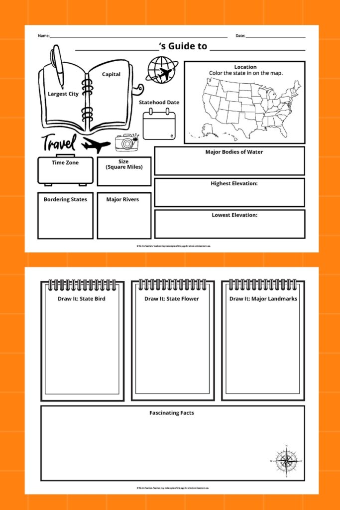
Write your own travel guide spread with this worksheet, which works for any U.S. state. Kids fill in information like:

  • Capital and largest city
  • Size and population
  • Major rivers and lakes
  • Highest and lowest elevation
  • State bird and flower
  • Famous landmarks
  • Fascinating facts
U.S. State Graphic Organizer
Myranda McDonald for We Are Teachers

Draw It! U.S. State Symbols

Every one of the 50 states has an official bird and flower, plus a flag and seal. In addition, each of them has many other official symbols, like animals, foods, songs, and more. Students draw or paste in pictures for eight symbols of their chosen state on this fun free worksheet.

Draw It! U.S. State Symbols
Myranda McDonald for We Are Teachers

Create a Physical Map of the United States Activity

Use this activity with the U.S. map of your choice. Students follow the directions to sketch in and label physical features like:

  • Mountain ranges and deserts
  • Major rivers and lakes
  • Landmarks like Niagara Falls and the Grand Canyon

More United States Map Ideas and Activities

Plan a Road Trip

Start in your hometown, then choose a destination. What states will you have to cross through to get where you’re going? How long will the trip take? Is your destination in the same time zone? What landmarks can you visit along the way? Every student can choose their own adventure!

Track the Weather

Use a blank map of the United States and sketch in the day’s temperatures and conditions in various areas. You can also color the country according to climate zones, write in historic highs and lows for major cities, or map out the current position of the jet stream.

Who Lived There?

Challenge your students to find a famous resident of every state, and write or draw them in on a blank map of the United States. They can focus on historic people or include those currently living too.

Explore Regional Foods

Some states have their own official foods and beverages, but even those that don’t have their own cuisine specialties. Create a map to show where in the country you’re likely to enjoy key lime pie, funeral potatoes, a Low Country boil, and other delicious treats!

Play Guess the State

One student chooses a state, then the others ask questions to try to guess it. They could ask, “Is it west of the Rocky Mountains?” or “What time zone is it in?” See who can get the right answer first, then let them choose the next state.

Get my free printable map bundle!
Maps of the United States Bundle feature

Just click the button below to receive the bundle of activities and games to aid your students in learning all about the USA!

Looking for more? Check out Hands-On Ways for Kids To Learn Map Skills and 50 State Capitals With Mnemonic Devices!


Source link

You may also like